Contours, spot elevations, utilities and trees on a DWG or Civil 3D file your engineer can open the same day — captured with LiDAR, drones and GNSS, signed and sealed by a Florida Professional Surveyor & Mapper.
Serving Miami-Dade to the Keys, the Treasure Coast, Orlando and Tampa Bay. English and Spanish.
Send the address or folio and what the survey is for. A licensed surveyor scopes it and replies with a price and a delivery date.
Thank you — a licensed surveyor will review the property and send your quote within one business day (usually much sooner). If it's urgent, call us at (786) 574-6608.
Want to walk through the scope while we prepare it? Book a 30-minute video call with a licensed surveyor.
No subcontractors and no hand-offs: the crew that measures your site and the surveyor who seals the plan work in the same office.
A licensed crew captures complete existing conditions — ground, trees, utilities, structures — with survey-grade control. Most residential and commercial lots take a single site visit.
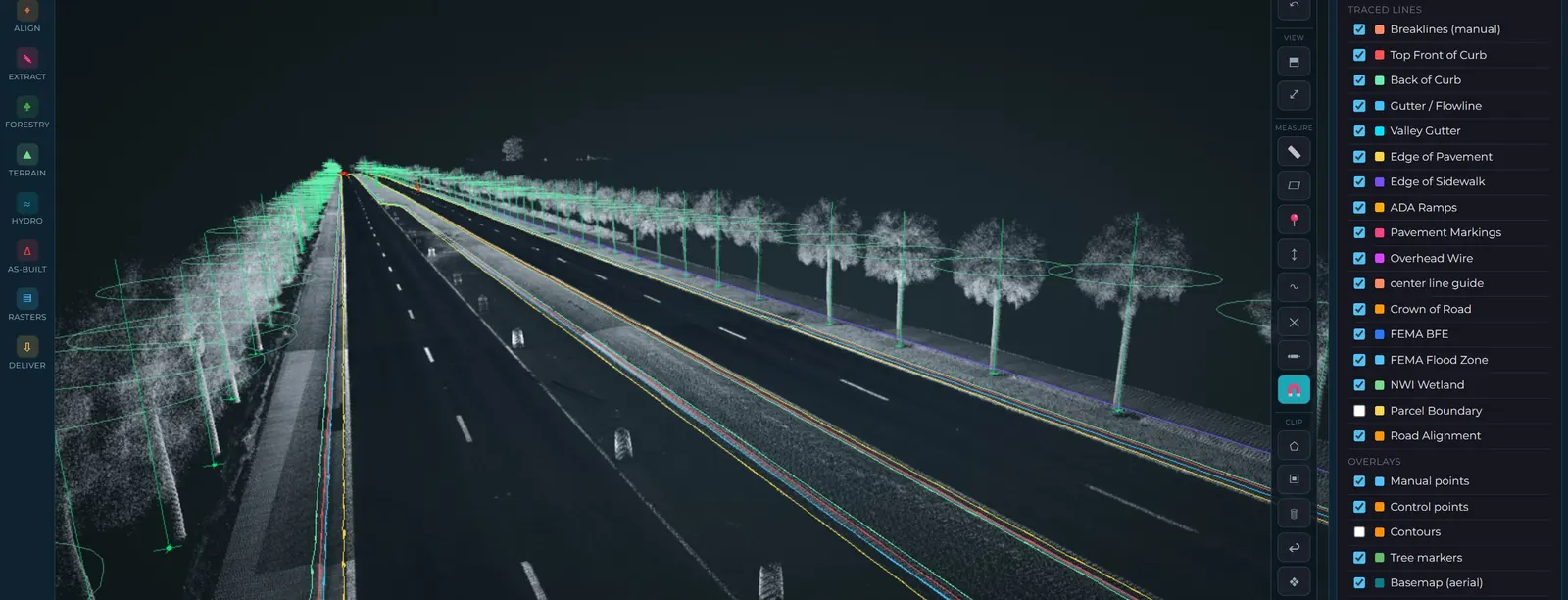
Surveyfy AI classifies the cloud and traces contours, features and breaklines; the surveyor checks every layer against the field data.
DWG / Civil 3D with surfaces, a sealed PDF and the control report — delivered in 2 to 7 business days, 48-hour priority available.
The file set architects, civil engineers and counties ask for — so your design starts the day the survey arrives.
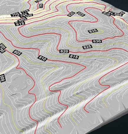
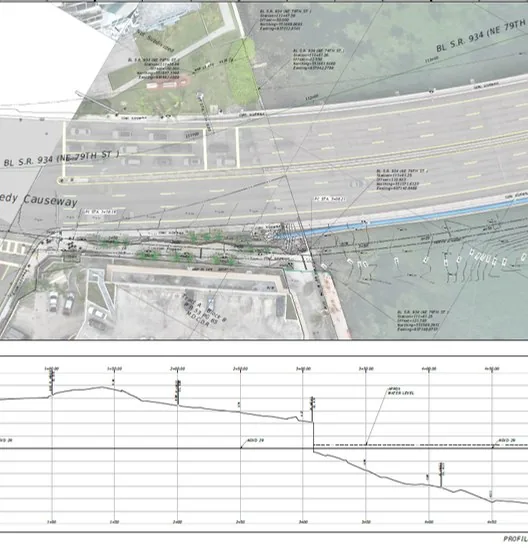
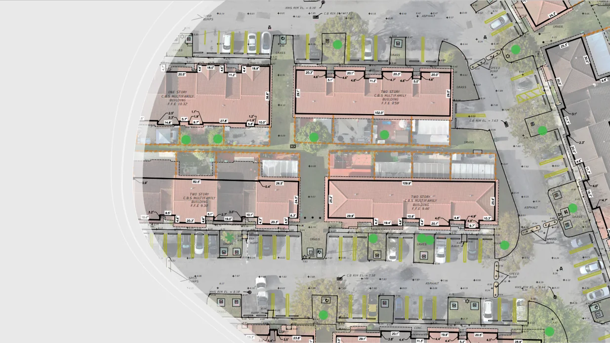
Site plans and permits usually call for both: the boundary (lines, corners, easements) and the topography. We survey both in the same visit and deliver a single signed and sealed plan — no second mobilization, no two surveyors disagreeing about the same lot.
We deliver in the format your workflow expects and talk to your engineer directly when something needs clarifying.
Civil 3D surfaces with breaklines, layers named to your standard, and a surveyor who picks up the phone when the grading plan raises a question.
Existing conditions for due diligence, site plan approval and rezoning — from a single lot to a multi-acre parcel, with drone and LiDAR when the site is large.
Topo and boundary on one plan for building permits, pool and fence permits, and the county's tree survey requirement.
 Surveyfy AI · in-house software
Surveyfy AI is the software our own licensed surveyors built to turn LiDAR and drone data into drawings. It classifies the cloud, traces linework, measures and calculates, and the surveyor checks and seals. That is how a survey that takes others three weeks leaves our office in days.
Every output is verifiable, signed and sealed by a Florida Professional Surveyor & Mapper.
Two field crews and our own LiDAR and drone fleet cover South and Central Florida. Tell us the county and the lot size and we'll give you a real delivery date, not an estimate.
Crews based in Doral and downtown Miami. Orlando and Tampa Bay projects are scheduled weekly.
Miami-Dade, Broward, Palm Beach, Monroe (Florida Keys)
Martin, St. Lucie, Indian River (Vero Beach), Brevard
Orange, Seminole, Osceola, Polk
Hillsborough, Pinellas, Pasco, Manatee, Sarasota, Charlotte, Lee, Collier


















Anything else? Call (786) 574-6608 — English and Spanish.
Most residential and small commercial lots are captured in a single visit and delivered in 2 to 7 business days from the site visit. If your deadline is tighter, ask for 48-hour priority when you request the quote.
Yes. A boundary and topographic survey on one signed and sealed plan is our most requested product for site plans and permits — one crew, one visit, one plan.
A signed and sealed PDF plus DWG and, if requested, Civil 3D files with the surface, contours, breaklines and feature layers. We follow your engineer's layer standard when you send it with the request.
Yes, together with GNSS and total-station control so every deliverable meets survey-grade accuracy. Large or vegetated sites are where drone and LiDAR capture saves the most time.
The address or folio number and what the survey is for (site plan, grading design, permit). If the county or your engineer sent requirements, attach them — the quote reflects exactly that scope.
A licensed surveyor reviews every request and answers with a price, a scope and a delivery date. Signed, sealed and ready for design.
