Our own hydrographic drone maps the bottom of lakes, ponds, canals and marinas while LiDAR captures the banks, seawalls and docks — merged into one signed and sealed plan with contours, cross sections and dredging volumes.
Lakes, retention ponds, canals, marinas, seawalls and coastal sites from Miami to Tampa Bay.
Tell us the waterbody, where it is and what the permit or the engineer needs. A licensed surveyor scopes it and replies with a price and a date.
Thank you — a licensed surveyor will review the property and send your quote within one business day (usually much sooner). If it's urgent, call us at (786) 574-6608.
Want to walk through the scope while we prepare it? Book a 30-minute video call with a licensed surveyor.
The same licensed team runs the hydrographic drone, captures the shore and seals the plan, so the underwater and the upland data always fit together.
The unmanned survey vessel runs planned lines with RTK positioning and a single-beam or multibeam echosounder; a drone or LiDAR captures the banks, seawalls, docks and structures on the same control.
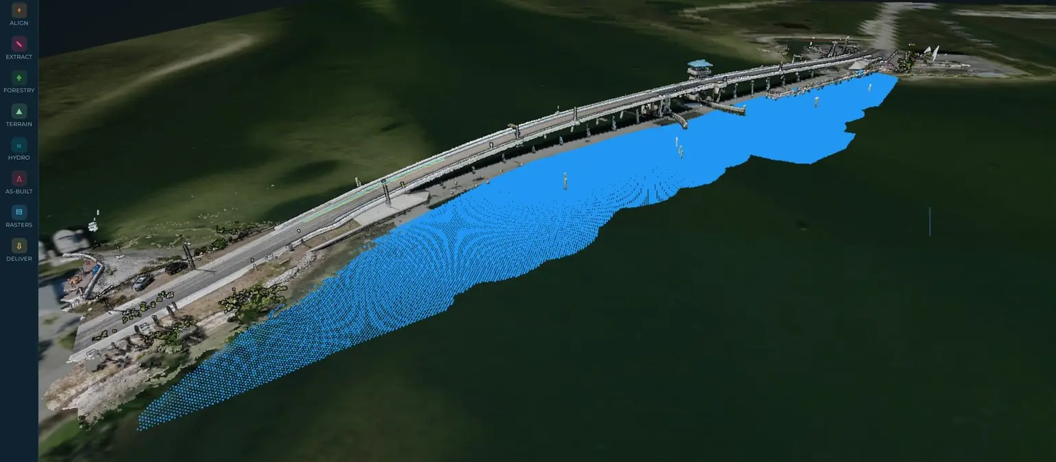
Surveyfy AI merges the sonar and the LiDAR into one surface, draws the contours and cross sections and calculates volumes to the dredge template or between surveys.
Bathymetric plan with contours and spot depths, sections, volume report and Civil 3D surface — signed and sealed by a Florida PSM, typically in 5 to 10 business days.
The plan, the surface and the numbers the engineer, the dredging contractor and the permitting agency need.
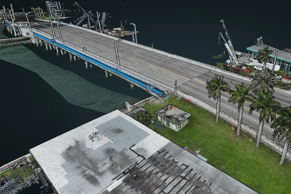
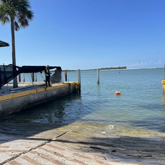
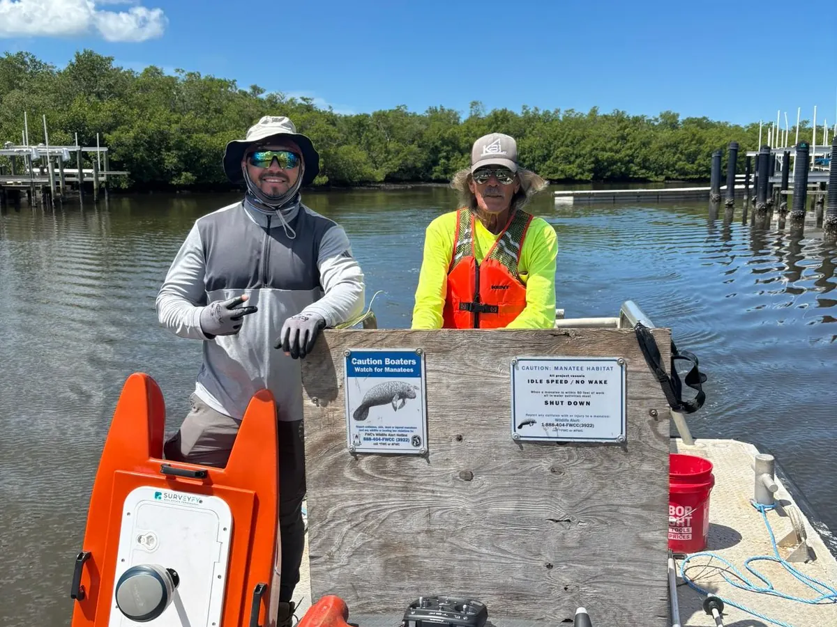
Most land surveyors hire out the underwater part and stitch the results together later. SurveyFy owns the hydrographic drone and runs it with the same crew that captures the shore, so the bottom, the banks and the structures come back on one datum, on one plan, from one responsible surveyor.
We deliver on the datum and in the format your project requires and coordinate directly with the engineer and the contractor.
Merged bathymetric-topographic surfaces in Civil 3D, cross sections at your stations and volumes to your template.
Pre-bid, pre-dredge and post-dredge surveys with volume reports for the permit and the pay application.
Lake and pond surveys for maintenance and capacity, marina and seawall surveys for permits, insurance and repairs.
 Surveyfy AI · in-house software
The hydrographic drone captures the bottom while LiDAR and drones capture the banks, seawalls and structures. Surveyfy AI merges both into a single surface, draws the contours and calculates dredging volumes — and a Florida PSM checks and seals the result.
Every output is verifiable, signed and sealed by a Florida Professional Surveyor & Mapper.
Lakes, canals, marinas and coastal sites across South and Central Florida. Tell us the waterbody and the access and we'll confirm the vessel, the crew and the date.
Crews based in Doral and downtown Miami. Orlando and Tampa Bay projects are scheduled weekly.
Miami-Dade, Broward, Palm Beach, Monroe (Florida Keys)
Martin, St. Lucie, Indian River (Vero Beach), Brevard
Orange, Seminole, Osceola, Polk
Hillsborough, Pinellas, Pasco, Manatee, Sarasota, Charlotte, Lee, Collier














Anything else? Call (786) 574-6608 — English and Spanish.
A bathymetric survey measures the depth and shape of the bottom of a waterbody. A hydrographic survey also maps the shoreline, structures and features above and around the water. We deliver both on one plan, on one datum.
With our unmanned hydrographic drone: it runs planned lines with RTK positioning and an echosounder, needs only shore access, and covers a typical retention pond in a few hours. The banks are captured with LiDAR or drone on the same control.
Yes. We compute volumes to a dredge template, between two surveys (pre- and post-dredge) or by area, and deliver a signed volume report with the plan and the Civil 3D surface.
NAVD 88 by default, with the conversion to NGVD 29 or mean low water when the permit or the agency requires it. Horizontal control is Florida State Plane.
The location and approximate size of the waterbody, what the survey is for (dredging, design, permit, capacity) and any requirement from the engineer or the agency. We reply within 24 hours.
A licensed surveyor confirms the scope, the datum and the access, and answers with a price and a delivery date.
