Point cloud processing, LiDAR classification, planimetric drafting, surfaces, contours, volumes and tree inventories for surveying and engineering firms — produced with Surveyfy AI, reviewed by licensed surveyors and delivered white-label in your layer standard.
Overflow capacity for busy seasons and large projects. Firms anywhere in the United States. Confidential and white label.
Tell us what you captured, with what, and what you need back. A surveyor reviews a sample if you have one and replies with a fixed price and a delivery date.
Thank you — a licensed surveyor will review the property and send your quote within one business day (usually much sooner). If it's urgent, call us at (786) 574-6608.
Want to walk through the scope while we prepare it? Book a 30-minute video call with a licensed surveyor.
Your data never leaves a surveying office: it is processed by software built by surveyors and checked by surveyors before it goes back to you.
Send LAS/LAZ, E57, RCP or raw drone images through our secure transfer with your control, the scope and your layer standard or CAD template.
Classification, feature extraction, linework, surfaces, contours, volumes and tree detection run in Surveyfy AI; a licensed surveyor reviews every layer against the cloud.
DWG or Civil 3D drawing on your template, LandXML surfaces, GeoTIFF orthos, classified LAS and a QA report — white label, in days, with revisions included.
Pick the pieces you need — from a classified cloud to a finished topographic drawing on your title block.
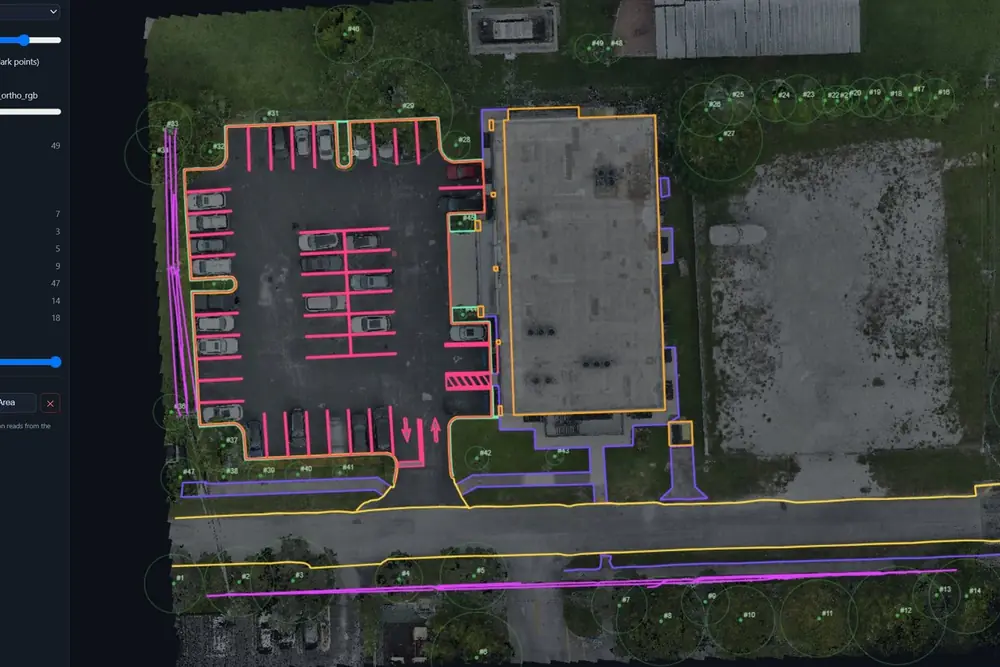
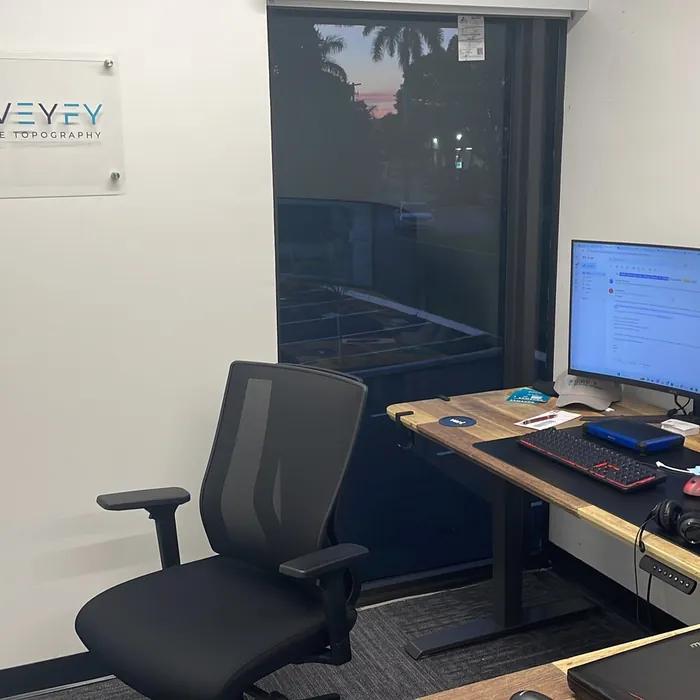
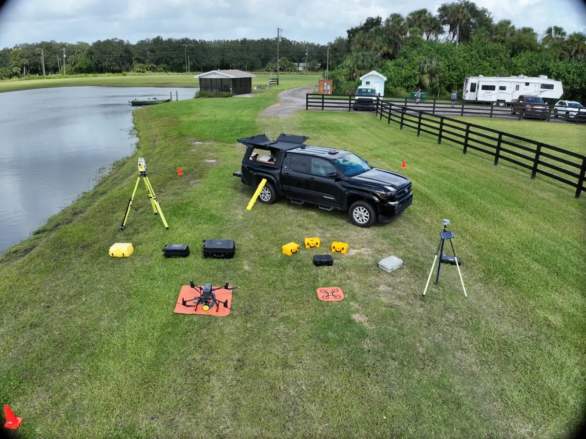
SurveyFy is a licensed surveying company with its own LiDAR, drone and hydrographic fleet. We built Surveyfy AI to keep up with our own field crews, and now we run your data through it. That means the people drafting your project know what a curb return, a breakline or a tree table is for — because they seal the same drawings in Florida every week.
Confidential, white label and priced per project — a drafting department you only pay for when you use it.
Topographic and planimetric drafting from your LiDAR or drone data, in your template, so your licensed staff reviews and seals instead of drafting.
Existing-conditions surfaces, corridors and quantities from point clouds you already own, delivered in Civil 3D and LandXML.
Turn captures into survey-grade deliverables your clients can design on: classification, linework, surfaces and QA by licensed surveyors.
 Surveyfy AI · in-house software
Surveyfy AI is the in-house platform that lets our licensed surveyors deliver in days what takes a drafting department weeks. We put it to work on your data: classification, linework, surfaces, tree inventories and volumes — reviewed by surveyors who draw plans every day, delivered white-label in your layer standard.
Every output is verifiable, signed and sealed by a Florida Professional Surveyor & Mapper.
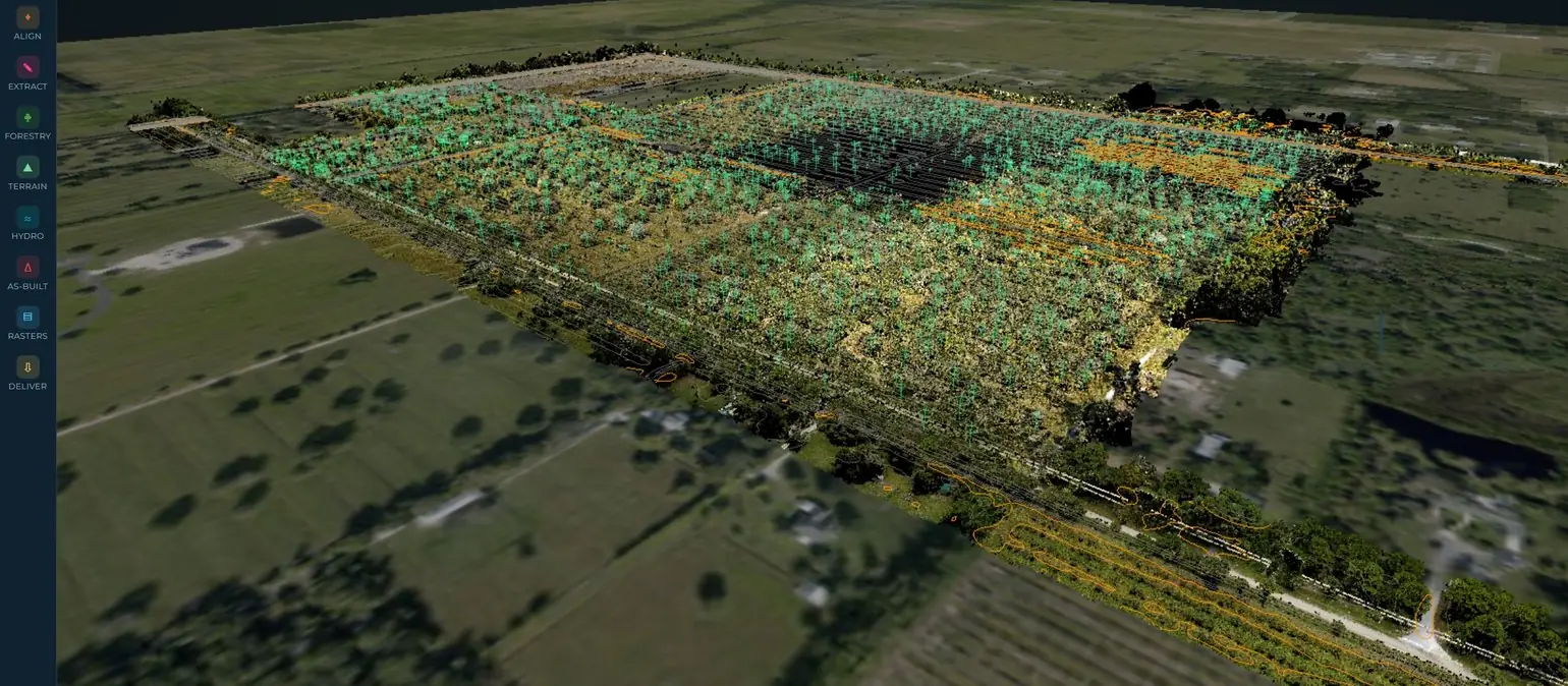
Your data is processed by SurveyFy staff in Miami — not subcontracted, not offshored. Send a sample and we'll process a piece of it before you commit.
Processed in our Miami, Florida office by surveyors who draft and seal plans every week.
Firms in all 50 states · Secure upload and download · Any sensor, any format
Drone and aerial LiDAR · Mobile and terrestrial scans · Photogrammetry and orthos
DWG and Civil 3D on your template · LandXML, LAS/LAZ, GeoTIFF · QA report and revisions
Own crews across Florida · Partner crews elsewhere on request · Same office, same standard

















Anything else? Call (786) 574-6608 — English and Spanish.
LAS/LAZ, E57, RCP/RCS, PLY and XYZ point clouds from drone, mobile or terrestrial LiDAR, and raw drone imagery for photogrammetry. Send your control, the coordinate system and your CAD template with the data.
Fixed price per project, quoted within 24 hours from the scope or a sample of the data. Recurring overflow work gets a per-acre or per-sheet rate. Revisions to meet your standard are included.
Yes. Deliverables go out on your title block and layer standard with no SurveyFy branding, under a confidentiality agreement if you require one. Your licensed staff reviews and seals.
Licensed surveyors on our staff — the same people who seal SurveyFy's own plans in Florida — check every layer against the point cloud before delivery, and a QA report goes with the files.
Yes. Send a sample of a real dataset and we process a portion of it so you can check accuracy, layers and turnaround before committing to the project.
A surveyor reviews your data and scope, processes a piece of it if you want proof, and answers with a price and a delivery date.
