ABOUT US
We are a team of highly experienced associated Professional who have been working in the land surveying industry for over 15 years.
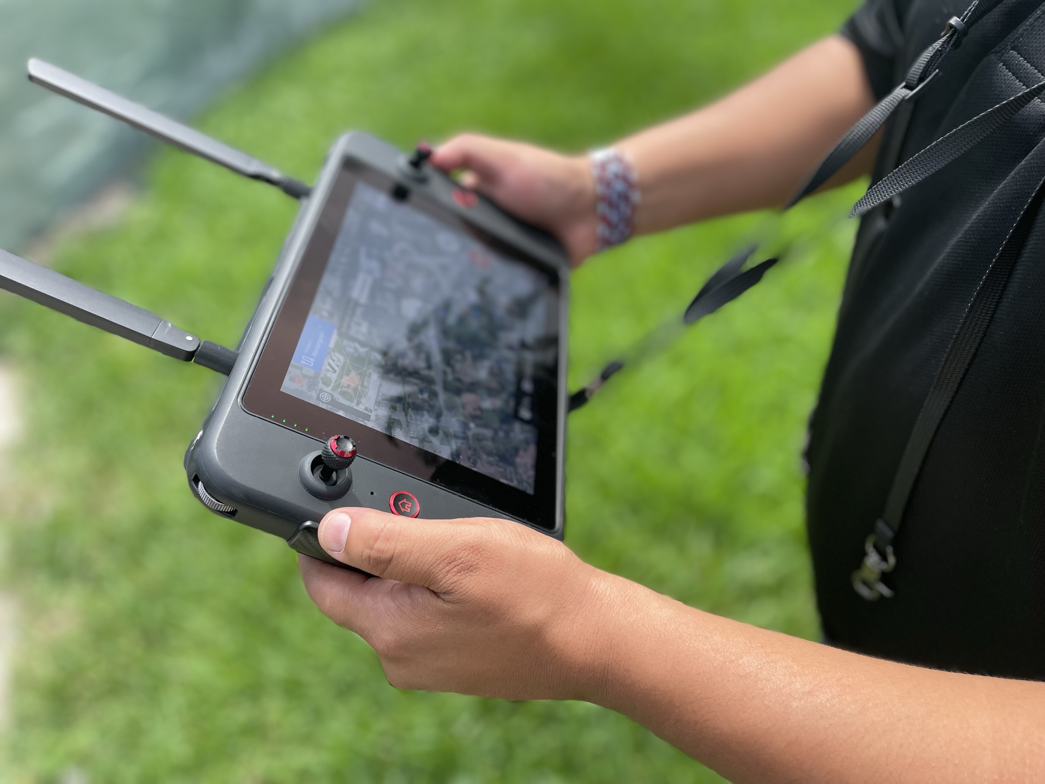
Our team consists of talented Professionals who are proficient in various surveying techniques and utilize cutting-edge technology.
With our extensive industry experience, we provide accurate and reliable survey data, assisting clients in making informed decisions regarding purchase or refinance properties, flood insurance or LOMA´s or LOMR´s, boundary disputes, land development, construction projects, and property assessments.
By choosing our company, you can trust in our team precision and professionalism.
OUR TEAM
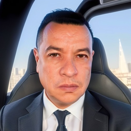
Jaime Pedraza
CEO
With a wealth of 20 years’ experience, Jaime is a distinguished economist specialized in business administration, notable for adeptly managing diverse firms spanning logistics, real estate, international trade, and topography sectors.
Their strategic acumen, guided by analytical insights and innovative approaches, consistently drives growth and operational excellence. A visionary leader, Jaime’s commitment to innovation has left an indelible mark, redefining industry standards and cementing their influential role in business administration and management.
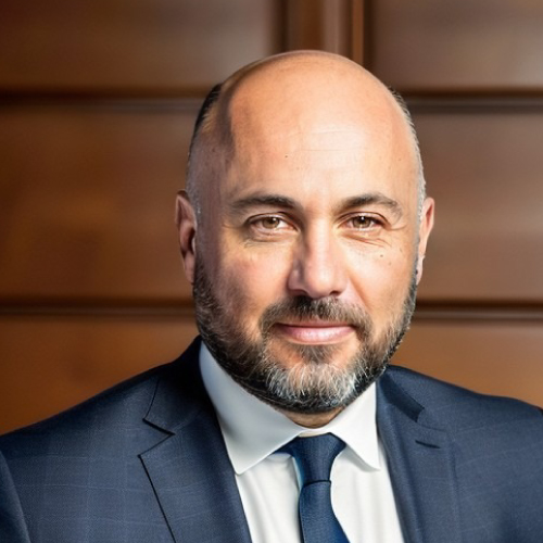
German Villamil
COO
Civil Engineer whose professional profile shines brightly, centered around exceptional expertise in diverse domains, including construction project management.
With a strong emphasis on land surveying, adept BIM management skills, and a mastery of emerging technologies such as Lidar and photogrammetry , he brings a unique skill set to the table. Proficient in tools like AutoCAD Civil 3D, ArchiCAD, Autodesk Recap, Pix4Dmapper, Agisoft methashape among others, he excels in transforming complex spatial data into actionable insights. His track record, spanning mining to real estate ventures, underscores his commitment to precision and innovative spatial analysis in every endeavor.
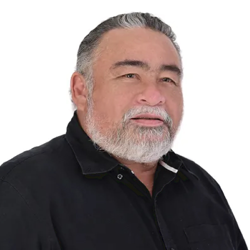
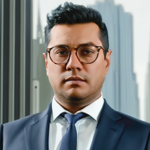
GUILLERMO GUERRERO
PSM
Journey in the field of topography has been extensive and marked by exceptional achievements. His remarkable proficiency in utilizing cutting-edge point cloud software, conducting intricate 3D mapping, and harnessing related technologies is evident in every endeavor. Notably, he has played a pivotal role in significant projects, such as the transformative Expressway, showcasing his expertise. With an extensive track record, stands as a highly proficient professional in this domain, combining technical mastery with strategic insight.
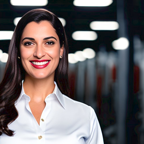
Andres Pedraza
CFO/CAO
An accomplished industrial engineer with a diverse entrepreneurial background spanning various sectors of industry, including document management, logistics, real estate, and topography. As a seasoned partner and stakeholder in these ventures, they have consistently excelled, particularly in the domains of business strategy and finance.
With over 15 years of invaluable experience, complemented by a master’s degree in finance, their expertise has been instrumental in shaping successful enterprises. Their ability to navigate the intricate intersections of strategy, operations, and finance has been a hallmark of their career, driving growth and innovation across multifaceted industries.
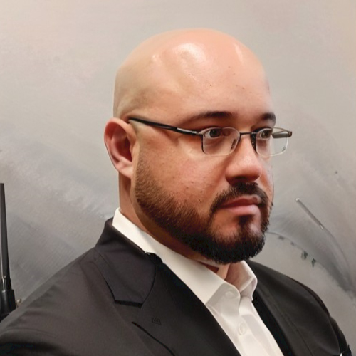
Lauren Davis
Partnerships Director
As a Partnerships Director, She is an 10 year experienced marketing professional with a knack for forging and nurturing strategic alliances.
Her impressive track record involves driving business growth through collaborative efforts, and bring a wealth of experience to the table. Her extensive network spans diverse industries including real estate, developers, general contractors and builders, allowing to identify and capitalize on opportunities for mutually beneficial partnerships.
ANGEL MARIN
SENIOR PARTY CHIEF
Experienced Surveying Party Chief with over a decade of hands-on expertise in the dynamic Florida surveying landscape. Proficient in precise data collection methods, he excels in the execution of surveys and the meticulous placement of data for stakeouts and layouts.
His extensive field experience has honed his skills in utilizing cutting-edge surveying equipment Lidar and photogrammetry. He thrives in fast-paced environments, ensuring projects are completed efficiently while maintaining the highest quality standards. Committed to excellence, he is a reliable leader who fosters teamwork and safety to achieve surveying success.
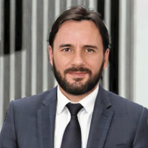
Andres Torres
Senior geomatics engineer
Geomatics engineer with 15 years of experience in CAD, topography, GIS, mapping, remote sensing, and photogrammetry, and 8 years of experience in LiDAR (mobile, unmanned, airborne) projects. Extensive knowledge of most CAD, GIS, and remote sensing tools. He has worked for various companies on multiple projects, both locally and internationally, serving European and US clients.
His specific experience includes ALTA surveys, boundary surveying, and topographic drafting, as well as GIS and cartography creation from various sources. He also has expertise in LiDAR processing for various applications, such as roads, land development, forestry, construction, and infrastructure. Additionally, he has experience in developing online viewers and applications, as well as working with large and medium-format photogrammetry and processing imagery from RGB, multispectral, and hyperspectral sensors.
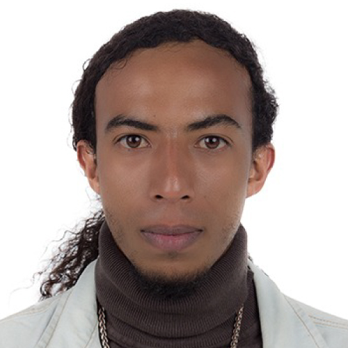
Jhon Quintero
Junior geomatics engineer
Topographic Engineer with over 8 years of experience in topographic surveys, civil engineering, drone technology, GPS, and GIS. Passionate about precision and quality in every project.
Focused on delivering efficient and reliable solutions to meet our clients’ needs. With a profound knowledge in this field, ready to tackle any topographical challenge and contribute to the success in any project.
What do we do?
SurveyFy, a land surveying company, excels in precise land measurement and mapping. SurveyFy offers vital services for property delineation, construction initiatives, topographic representation, and land development
How do we do it?
SurveyFy employs state of the art technology , static, mobile or airborne Lidar scanners, Photogrammetry , for fast and accurate data collection , as well as Survey grade GPS receivers, and robotic Total stations . And in the office the latest software for processing, modeling and Drafting .
Why choose us?
In addition to our high standards, our company’s advantage lies in our speed and service, facilitated by our cutting-edge technological platform.
We understand the importance of timely results in the Land Surveying industry, and our platform enables us to efficiently streamline our processes and deliver fast and accurate survey data to our clients.
With a commitment to exceptional service, we prioritize customer satisfaction and ensure a seamless experience through our advanced technological solutions.
Our turnaround time is a testament to this commitment, with the ability to provide even 48-hour deliveries.
Our Approaches
AGILITY
Customer service
ACCURACY
Location
9555 SW 175th Terrace, suite 236, Palmetto Bay, FL 33157, United States
PHONE
+1 786-936-45-40

